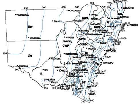
 Isohyet maps are used in recording amounts of precipitation during a specific period.
This isohyet map was used to show average rainfall in milimeters. The information provided will help farmers choose which clover to grow based on his/her location on the map.
http://www.dpi.nsw.gov.au/agriculture/field/pastures-_and_-rangelands/establishment/clover/part-f---choosing-the-right-sub-clover-v
No comments:
Post a Comment